 Excavating and
  Rough and Fine
 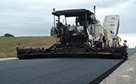 Paving, Milling
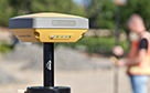 GNSS & Network
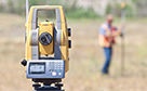 Total Station Solutions
 Mass Data and Volume Collection
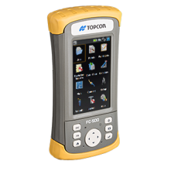
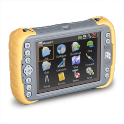
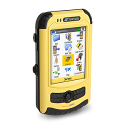
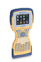
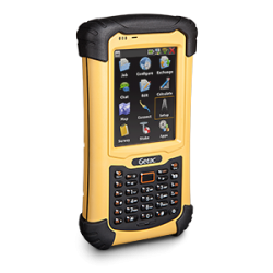
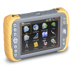
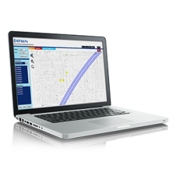
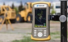 Field Controllers
 Field and Office Software Solutions
 Laser Solutions
 Levels and Theodolites
 Enterprise Services and Subscriptions
  Support and Warranty
Geospatial Solutions
Precision solutions
to grow with
From surveying to design, to layout and inspection, Topcon innovative optical and GNSS technology is about productivity — getting it done accurately and efficiently the first time.
The Topcon geospatial difference
Topcon geospatial solutions connect the field and the office in real time. Now you are part of the complete workflow solution, exchanging data and communicating with team members on the job and back in the office.
Topcon industry-leading cloud-based solutions work hand-in-glove with our instruments to provide unparalleled productivity gains. With every team member connected, whether in the field or office, the work proceeds without the typical delays of travel or missed communication.
Work the way you want to work, with a broad range of technologies and features specifically designed to support you and the work you do every day. Our focus on solutions means you can find the right combination of products and services to make your job faster, simpler, better and more profitable.
The long history of technology leadership in optical, GNSS and more has produced superb Topcon instrumentation that delivers repeatable accuracy in a wide range of field conditions.
Let us help you find your perfect solution
Whether a basic survey, creating site plans, or providing final inspection, Topcon geospatial products and solutions provide the confidence that data and designs are accurate start to finish.
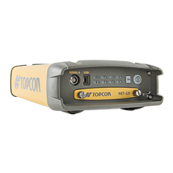
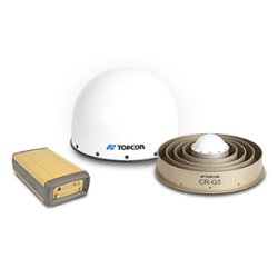
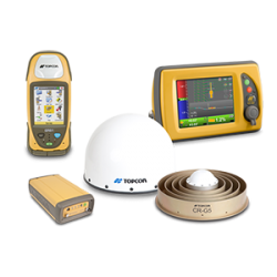
Topcon GNSS products deliver superior performance through a broad array of patented technologies. Combining signals from multiple satellite systems, our GNSS products calculate highly accurate positions in three dimensions.
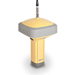
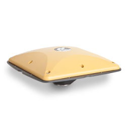
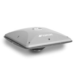
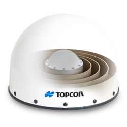
GR-5
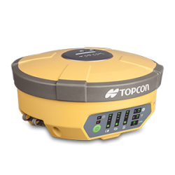
Hiper V
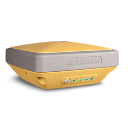
Hiper SR
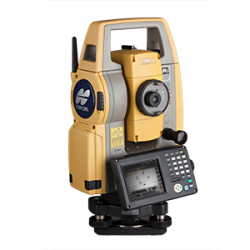
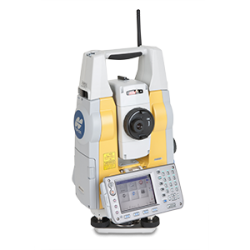
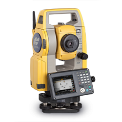
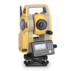
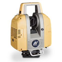
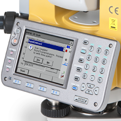
Renowned optics and legendary durability combine with cutting-edge technology to maximise your measurement productivity every day.
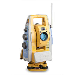
With the most powerful reflectorless system on the market, you get superb prism tracking and a built-in security standard.
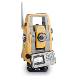
PS series
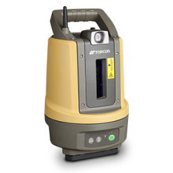
LN-100 Layout Navigator
IS-3 series
DS series
MS AX series

IS-310
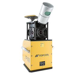
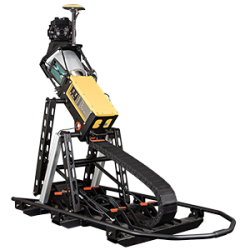
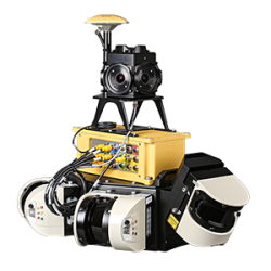
A pioneer in point cloud data creation, Topcon offers solutions to suit your application. These systems employ or combine such diverse technologies as laser scanning, GNSS and photogrammetry while presenting user-friendly interfaces.
IP-S3
Sirius PRO
IP-S2 HD
GLS-2000
IP-S2 Compact+
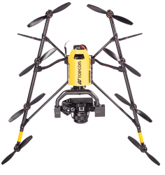
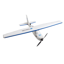
Falcon 8
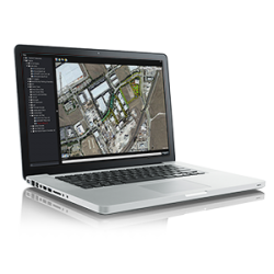
Employing deep integration with Topcon hardware, cloud connectivity and both specialized
and modular solutions, Topcon software packages are designed for the way you work.
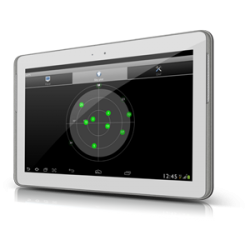
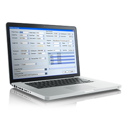
MAGNET Field

MAGNET Office
eSoftware
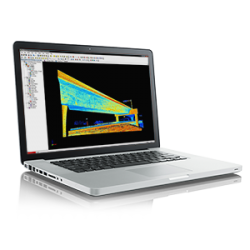
ScanMaster
ImageMaster
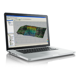
MAVinci Desktop
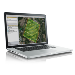
MSP Rapid Office
MSP On-Board

MSP Rapid Mobile
Topcon Enterprise Solutions are revolutionary anytime/anywhere connectivity and remote
management solutions that will make every geospatial and construction firm more productive.
MAGNET Enterprise
TopNET live
MSP WebPro
Over 80 years of experience in optical technology shows through
in our rugged, reliable and accurate auto levels, digital levels and digital theodolites.
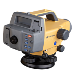
DL series
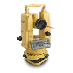
DT-200
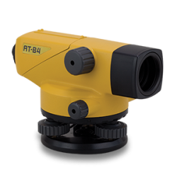
AT-B series
WE'VE GOT YOU COVERED
See it in action
Your local dealer can't wait to show you what we can do for your business.