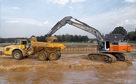
 Excavating and
 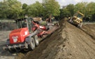 Rough and Fine
 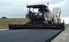 Paving, Milling
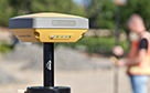 GNSS & Network
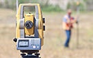 Total Station Solutions
 Mass Data and Volume Collection
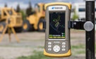 Field Controllers
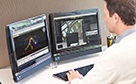 Field and Office Software Solutions
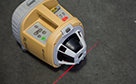 Laser Solutions
 Levels and Theodolites
 Enterprise Services and Subscriptions
  Support and Warranty
Mass Data and Volume Collection
“We're covering miles while others cover feet...”
Scott Dow - Aerotec LLC
From the world leader in cutting-edge solutions.
Capture reality. Our technology gives you the freedom to capture first, and ask questions later.
Our range of solutions in mass data capture opens the door to entirely new workflows. Capture data once, quickly, then interrogate the data at your leisure, on your own at your desk. From original topo, to pre-construction inventories, to as-built documentation, our solutions deliver above and beyond the call.
With mass data collection, you have a thorough inventory of the environment, with imaging overlayed on your 3D model. Additional data needs can be met from your existing data, without the need for extra time and expense to return to the field. Bid your job more accurately, protect yourself from shifting client needs, and come out as the hero.
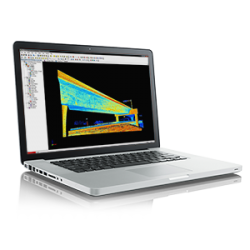
The technologies that support mass data collection are highly advanced, and Topcon is on the forefront of that technology. But as the user, your job has become much simpler, as the technology does most of the work. Use the Ingest > Process > Deliver workflow to create fantastic results with relatively few steps. With highly visual interfaces, our software allows you to literally see where you are, select the measurements and operations you need, and let the software do the heavy lifting.
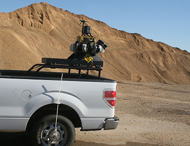
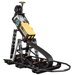
Topcon pioneered the fusion of imaging and laser scanning, with GNSS and advanced IMU sensing to create
mobile mapping technology. Our solutions feature full workflow solutions and robust, tested technology.
IP-S3
IP-S2 HD
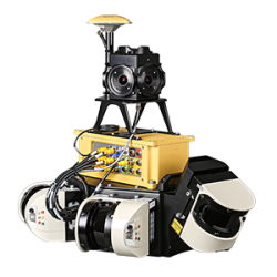
IP-S2 Compact+
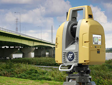
Topcon laser scanners feature the highest accuracy across their full distance range via selectable lasers and
dual cameras in fully integrated designs. With hot-swappable batteries and on-board
data collection software, these versatile precision instruments provide a seamless workflow.
ScanMaster
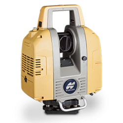
GLS-2000
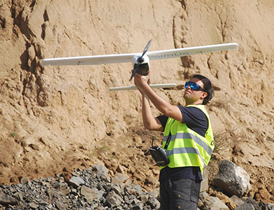
Our lightweight fixed-wing aerial system provides the quickest and simplest path for geospatial professionals to bring aerial photogrammetry in-house.
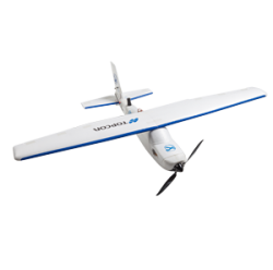
Sirius PRO
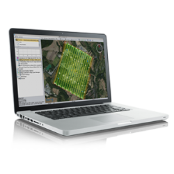
MAVinci Desktop
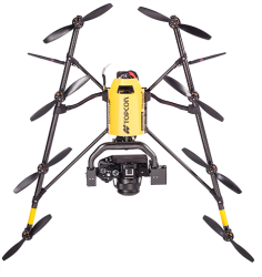
Falcon 8
WE'VE GOT YOU COVERED
See it in action
Your local dealer can't wait to show you what we can do for your business.