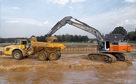
 Excavating and
 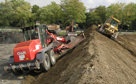 Rough and Fine
 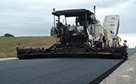 Paving, Milling
 GNSS & Network
 Total Station Solutions
 Mass Data and Volume Collection
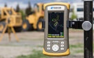 Field Controllers
 Field and Office Software Solutions
 Laser Solutions
 Levels and Theodolites
 Enterprise Services and Subscriptions
  Support and Warranty
eSoftware
Map it all, your way
Advanced software solution for Topcon
GNSS-based positioning and mapping tasks

Comprehensive GIS, DGPS
& RTK mapping with companion software solutions
As the most intuitive mapping solution for field controllers available, eGIS is all you need for mapping of utilities, disaster management, water and sewage plant operations, forestry, highway maintenance, or asset management at all grades of GNSS positioning.
- Fully integrates with GNSS functions of Topcon handheld devices
- Capture, edit, analyse, and display geographic information with professional imaging integration
- Compatible with ArcPad vector/raster map display
- Quality control of real-time GNSS derived positioning
- Automatic data transfer with eGISSync & eViewer desktop software
Streamlined, integrated workflow
maximizes your Topcon handheld
Along with the full companion suit of mobile and desktop software, the most intuitive positioning solution available.
Running on your Android tablet or phone, or any of our Windows Mobile® based controllers, the eGIS interface has been designed to be as intuitive as possible to allow you, the user, to concentrate on what’s important … gathering your data.
In conjunction with eWebSync and eViewer, your mapping projects can be synchronised for view on your large desktop screens in an instant, using Bing or Google background mapping to add feature-rich context to your projects.
Compare to Similar Products
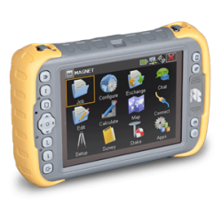
MAGNET Field
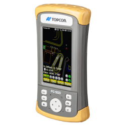
Pocket 3D
ADVANCED SUPPORT
Real people + Active community = TotalCare.
You’ll have support wherever you need it — even in the field with your free Topcon TotalCare account. Upgrade your plan to enjoy premium live support and training from industry professionals just like you.
WE'VE GOT YOU COVERED
See it in action
Your local dealer can't wait to show you what we can do for your business.