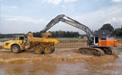
 Excavating and
 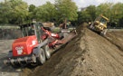 Rough and Fine
 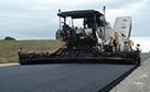 Paving, Milling
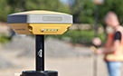 GNSS & Network
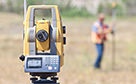 Total Station Solutions
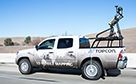 Mass Data and Volume Collection
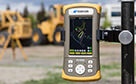 Field Controllers
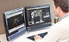 Field and Office Software Solutions
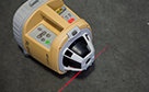 Laser Solutions
 Levels and Theodolites
 Enterprise Services and Subscriptions
  Support and Warranty
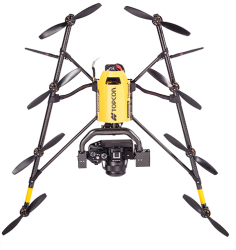
Sirius PRO
High accuracy unmanned aerial mapping and modelling
Simple, lightweight, low-cost and robust solution for creating aerial maps and digital terrain models.

Accurate aerial mapping with pre-planned flights
Wirelessly transfer customised flight-plans to the Sirius PRO from the intuitive desktop software, and hand launch the unmanned aircraft system (UAS) and relax!
- Automatic flight planning
- Simple hand launch & autopilot assisted manual control
- High accuracy GNSS RTK mapping eliminates the need for GCP’s
- Fully operational up to wind speeds of 50km/h and gusts of 65 km/h
- High resolution 16MP Panasonic GX-1 camera onboard
- Advanced post-processing and evaluation software
Aerial Photogrammetry without GCP's
Having no need for ground control point establishment and positioning can save up to 50% of total project time … the Sirius PRO's onboard GNSS RTK provides accurate real time positioning of the UAS, so image capture location is known instantly.
Post processing is simple … wirelessly export images to the one-click software to create DTMs and orthophotos, basic measurements, overlays, 3D models for cut and fill analysis, even as-built design comparisons.
Compare to Similar Products
Falcon 8
ADVANCED SUPPORT
Real people + Active community = TotalCare.
You’ll have support wherever you need it — even in the field with your free Topcon TotalCare account. Upgrade your plan to enjoy premium live support and training from industry professionals just like you.
WE'VE GOT YOU COVERED
See it in action
Your local dealer can't wait to show you what we can do for your business.